Underlying data
The Freizeitkarte maps "2/2026" are based on OpenStreetMap data of 2026/05/03.
Thanks to all the mappers who contributed data.
Additions / modifications in Release "2/2026":
- Improvement of map data by the OSM project.
Information
For users on Microsoft Windows with BaseCamp we recommend to use the new GMAP Installers. The reason for this is that the oldfashioned installer do not display height profiles in
BaseCamp. You can read more about how to use these GMAP Installers on the Installation page.
Next release
The next release of the Freizeitkarte maps (3/2026) is planned for September/October 2026.
Support / Forum
Due to time constraints, we are unable to provide individual support. However, there is a recreational map forum in the ‘geoclub’, where many map users and power users help with questions
in addition to the leisure map developers. The forum is mainly in German, but please feel free to post your enquiry in English.
Link: Freizeitkarte Support-Forum
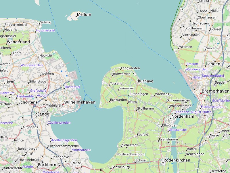
The Jade Bay has with 3.7 meters the highest tides on the German coast.
Direct download link via map directory
Experienced users can also load the maps and map designs directly from the map directory.
Link: Map Directory